


Bowdoin National Wildlife Refuge
Location
Montana, United States
Category
Regional
Basis for Designation
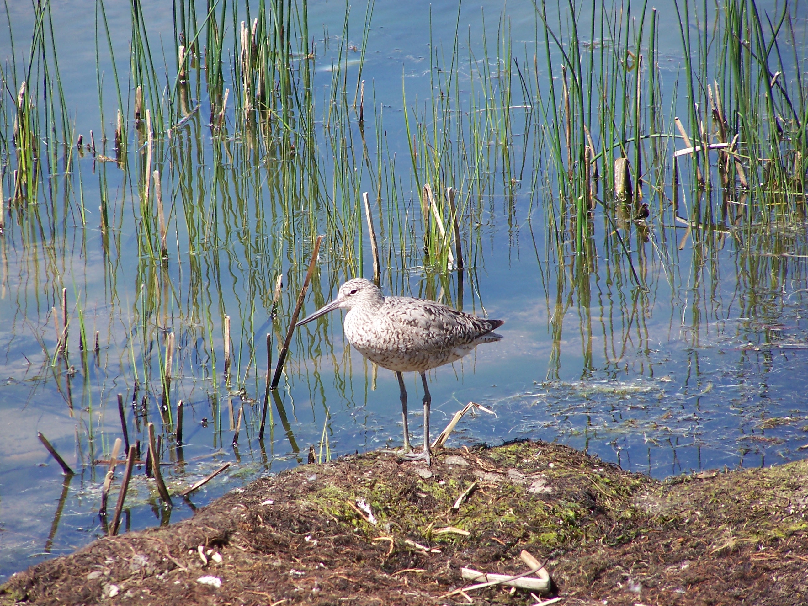
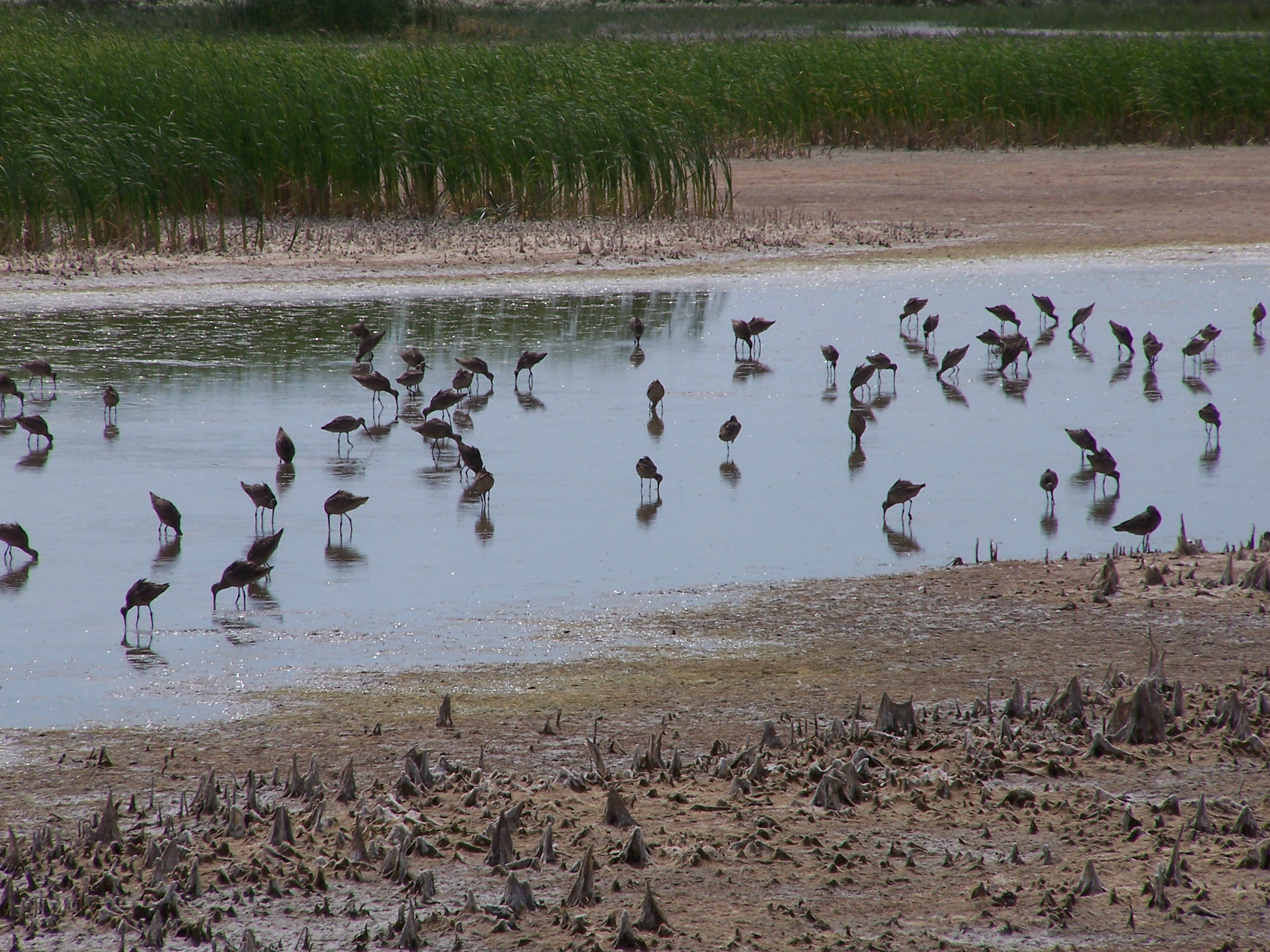
Supports more than 20,000 shorebirds annually
Size
6,293 hectares (15,550 acres)
Date Designated
April 2002
Site Owner
U.S. Fish and Wildlife Service

Overview
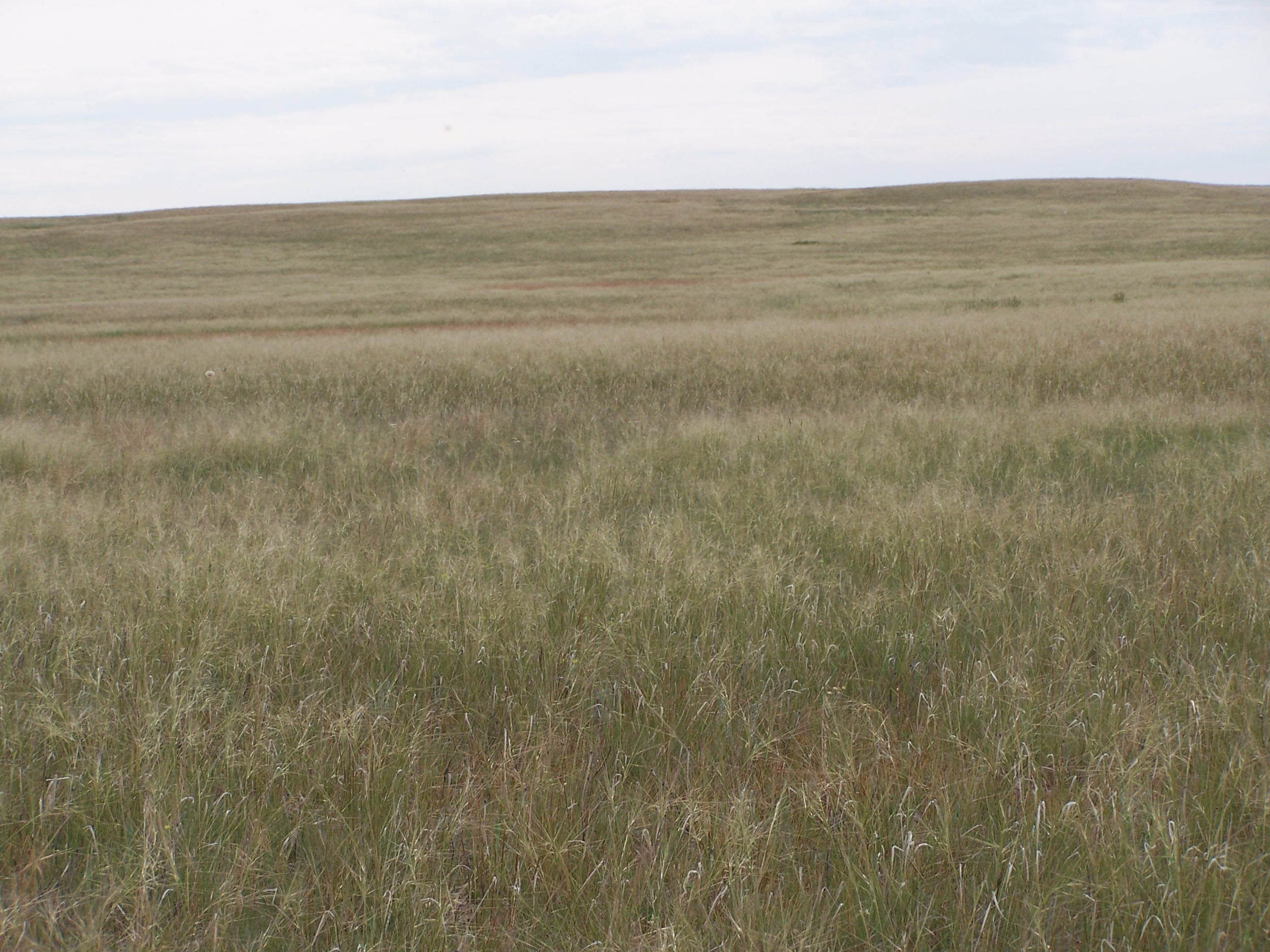
The Bowdoin National Wildlife Refuge (NWR) was established in February of 1936 as a refuge and breeding ground for migratory birds and other wildlife. The refuge is within the short- and mixed-grass prairie region of North-central Montana and is located about 7 miles northeast of Malta, in the Milk River Valley of Phillips County. Malta has a population of approximately 2,000 people and is the largest community for at least 70 miles in any direction of the refuge.
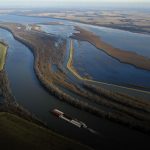
The refuge contains a total of 6,615 acres of freshwater and saline wetlands; the remainder is upland habitat comprising native prairie, dense nesting cover, shrubs, and trees. Lake Bowdoin and Dry Lake are the two largest water units on the refuge. Both were once oxbows of a pre-glacial Missouri River channel that today lies 70 miles south of the refuge! They have extensive areas of super-saline, shallow water, and their alkaline beaches and mud flats are rich in invertebrates – all important features for migratory shorebirds.

Current Threats
Water quality is a major issue. Lake Bowdoin and Dry Lake accumulate salts from groundwater seeping to the surface; salt can also enter the refuge via incoming water from Milk River Irrigation System. Some salt is advantageous for its positive effect on invertebrate production (a shorebird food source); however, excessive salt loads and biomass production can lead to outbreaks of avian botulism and potential deformities in some bird species. The refuge is not allowed to discharge its water into Beaver Creek except during infrequent flood events, therefore, the only way that salt is released is through wind erosion on dry saltflats in late summer.
Periods of drought, which are a natural occurrence in eastern Montana, help to maintain a healthy prairie-wetland community but also result in fluctuating shorebird populations.
Invasion of noxious weeds and other plants is also a concern, particularly Russian olive trees along shorelines, dikes, and water delivery canals. Refuge staff began an eradication program in 2000 and have restored the prairie-wetland vegetation community in several locations. However, the extent of the invasion is so great that 100% eradication is unlikely.
Land Use and Management Activities
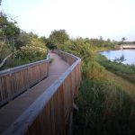
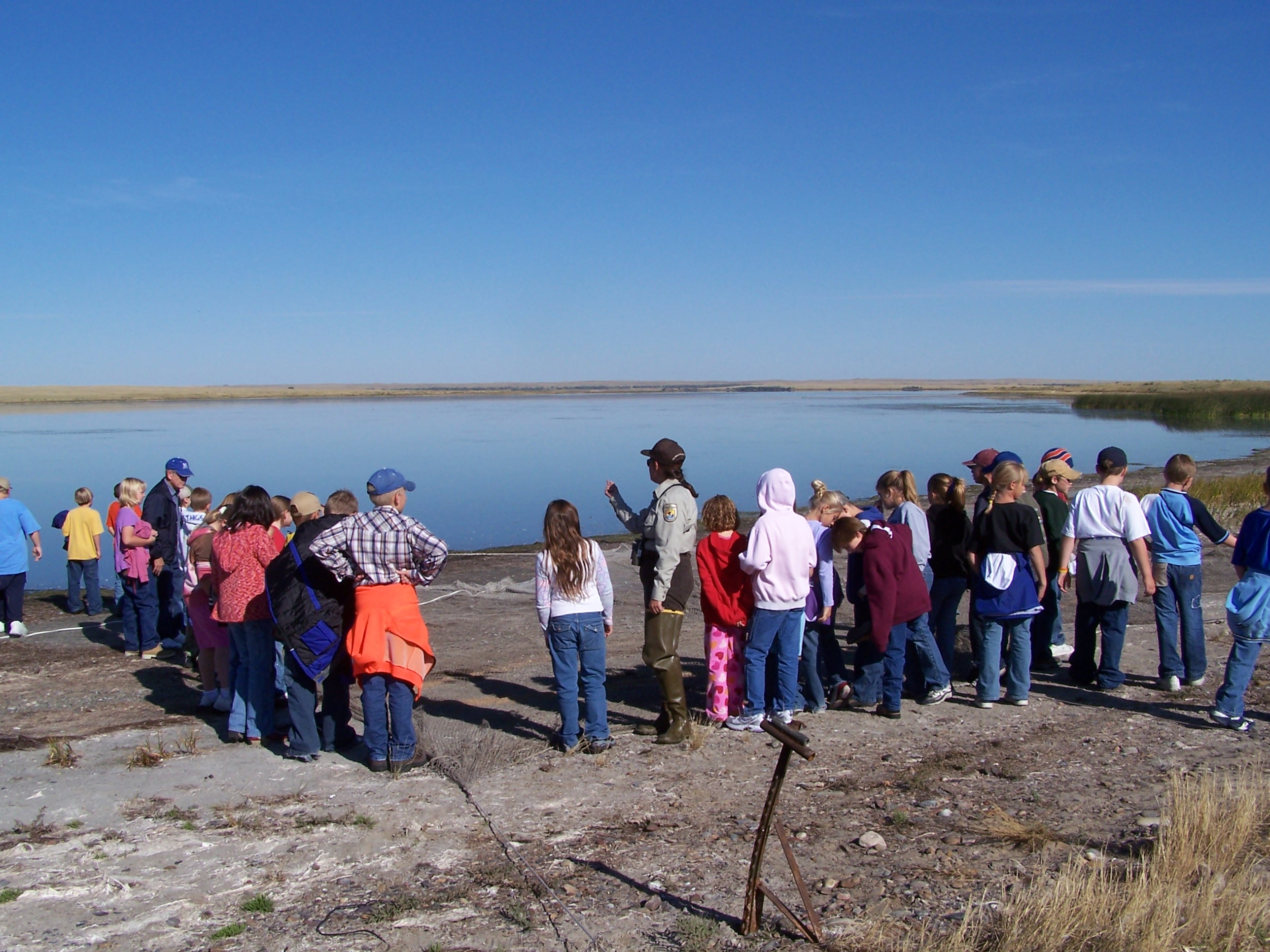
Forty percent of the refuge is open to hunting of waterfowl and upland game-birds during the fall. Bowdoin NWR was designated an Important Bird Area on March 17, 2001. A primary function of the refuge is to provide resting, feeding, and breeding habitat for migratory birds, and water management practices reflect this. Upland management techniques include prescribed fire, grazing, and mowing to maintain native prairie for upland-nesting shorebirds and waterfowl. The east half of Lake Bowdoin and western portion of Dry Lake are designated as critical habitat for the threatened Piping Plover, and this area is managed accordingly.

